Drone Capture Progress at Fyansford
About the Case Study

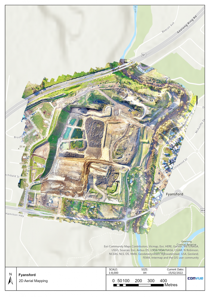
Fyansford is the biggest infill land estate in Geelong.
In this project, we captured the progress fortnightly over a year.
We also worked with the Geotesta engineers in managing some of the project scopes.

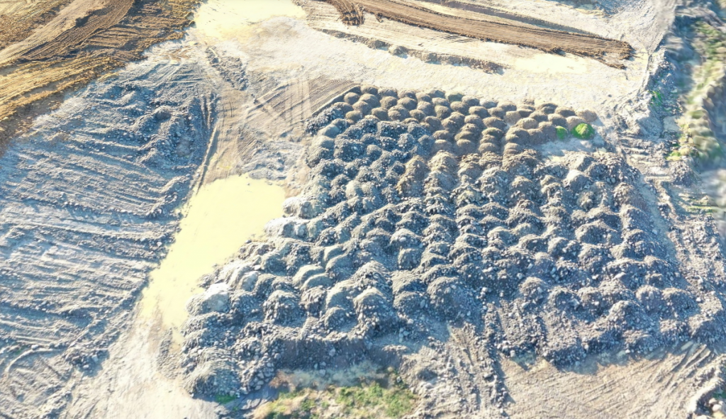
The images that have been acquired from the drone has been stitched as a 2D map and a 3D model.

But that’s not all. We decided to investigate further when it comes to analysing the data from the drone.
Contours

A Digital Terrain Model can be produced which contains surveying terrain levels.
Contours can be produced and overlaid into the drone aerial imagery.
Slope Angle

We produce slope angle maps to assess the slope stability of some of the areas.
Where the slope angle is higher, there is a higher possibility of landslips and erosion, which is caused by heavy rainfall.
This could affect potential residents who may live in the area.
Measuring the slope angle would also assist in cut and fill cases where the slope has to be regraded to reduced elevations.
Slope Aspect

We also produce slope aspect maps so as to assess the slope angle as well as the compass direction.
In this case study, we utilised the slope aspect to determine areas which are flat and areas that have slopes in different compass locations.
This would be suited for building planning.
Cut Fill Analysis

The cut fill analysis can measure the changes of volume in the area.
In the case where there has been a net gain or net loss, we would create a slope profile of specific areas of the project.
The red is the fill area, the blue is the cut area and the grey is no change.
Slope Analysis

We can also produce a cross-section of the elevation profile for you to see the specific levels of terrain. This will enable construction personnel to see which material needs to be filled or cut.

Progress of the site
This enables visual progress of the site, allowing to see differences in the cut and fill and also if there are any changes.
Rock Face Mapping

Rock face mapping can also determine the cracks and the ridges of the rock. 3D models can be provided.