Major Infrastructure
Major Infrastructure
UAV LiDAR
LiDAR sensor drones are utilised for heavy vegetation mapping

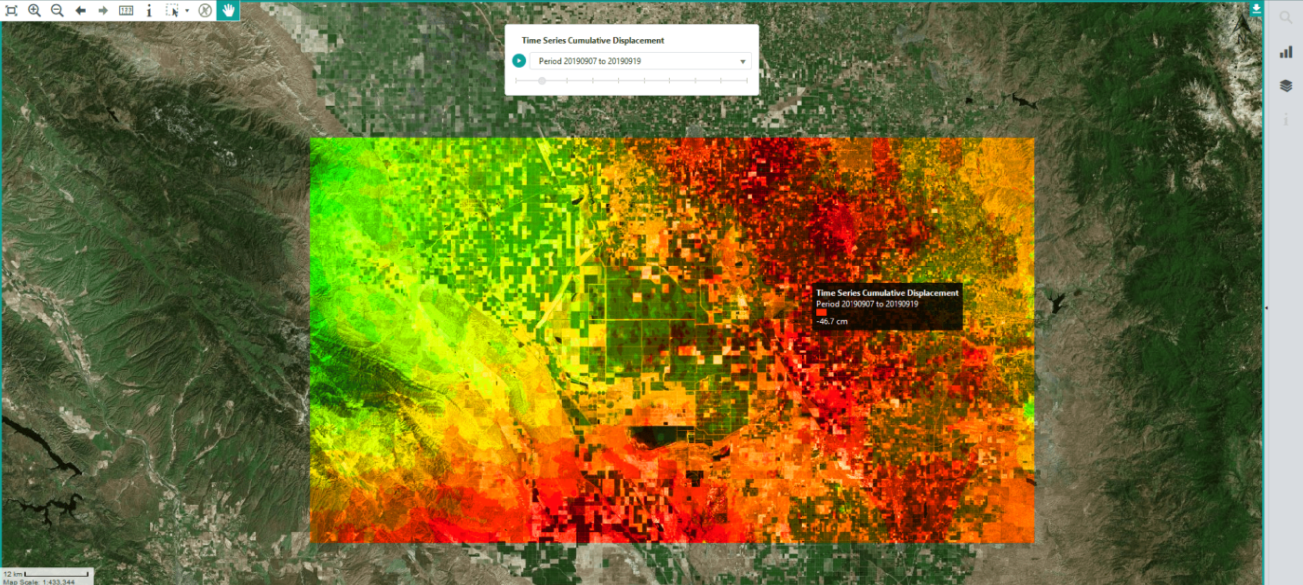
InSAR
InSAR is used to map out the displacement over a period of time.

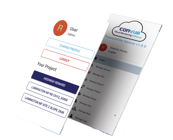
ConVue Cloud Monitoring
ConVue Cloud Monitoring is used to view live plots on mobile and computer.

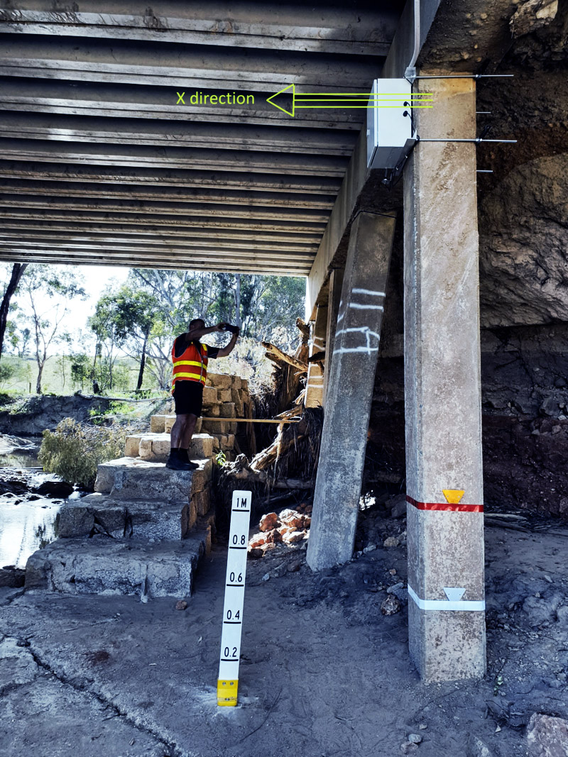
Instrumentation
Instrumentation sensors are used to monitor the current conditions of the infrastructure to see if it meets specifications of the design.

Geographic Information Systems (GIS)
GIS uses maps to spatially analyse the current or past conditions of the site and to ensure current conditions are being monitored.
